our story
|
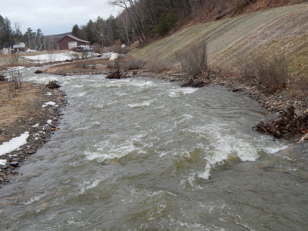
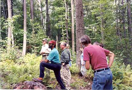
In October 1996, a river landowner in Drewsville (a small village within the Walpole boundaries) put a notice in the local papers announcing a meeting for anyone interested in the Cold River and its protection. Twenty people showed up, and two Acworth residents volunteered to co-chair the yet to be named group to continue the discussions of how to best ensure the continued good health of the river. The group met monthly in locations the length of the river, continuing to draw 8-25 people for the next ten months.
Of primary discussion in these early months were the goals and interests of the Friends of the Cold River, (as the group first decided to call itself) and whether or not they wanted to nominate the river for inclusion in the NH Rivers Management and Protection Program. They decided not to rush into the nomination process, primarily because the members did not feel that they could ask their communities to support something that they themselves did not yet fully understand. |
|
Mapping the River
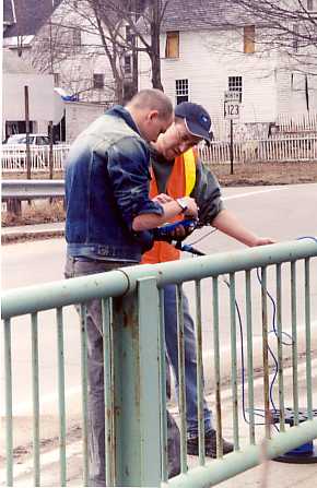
Prior to the formation of the Friends of the Cold River, the New Hampshire Rivers Council received a grant from the NH-VT Joint Commissions Partnership Program to fund a natural resource inventory of the Cold River. An Antioch graduate student, Doug Payne of Hancock, NH, completed the project in September 1996 with help from the Southwest Regional Planning Commission and others.
One of the first undertakings of the Friends was the successful application to the Connecticut River Valley Joint Commissions Partnership Program for a grant to develop a comprehensive GIS resource map set. Developed by Upper Valley Lake Sunapee Regional Planning Commission (UVLSRPC), these maps along with the river's natural resource inventory, have served planning and educational purposes.
One of the first undertakings of the Friends was the successful application to the Connecticut River Valley Joint Commissions Partnership Program for a grant to develop a comprehensive GIS resource map set. Developed by Upper Valley Lake Sunapee Regional Planning Commission (UVLSRPC), these maps along with the river's natural resource inventory, have served planning and educational purposes.
|
Early SuccessesAnother successful early project was a river clean-up focused on the Cold River Road through Drewsville. With the volunteer help of landowners along that stretch of the river, people from towns throughout the watershed, and two huge dump trucks and a driver generously donated by Whitcomb's Construction Company, the group filled one truck with furniture and metals, the other with bags of trash, plus two smaller pickup trucks with tires. The Walpole Recycling Center accepted the materials as much as they were able and Whitcomb's arranged for the removal of the rest.
|
The Nomination Process
In February 1998, just as the mapping project was completed, the Friends decided that they were comfortable with the NH River Management and Protection Program as a good fit with the goals and needs of their communities concerning the Cold River. The Upper Valley Lake Sunapee Regional Planning Commission offered their assistance with the nomination process which was gladly accepted.
The Friends spent April and May meeting with every group of selectmen in the river towns as well as most of the Conservation Commissions and Planning Boards. These meetings were an opportunity to present each town with their set of the maps completed with the Partnership Program grant, to explain the nomination process and the NH Rivers Management and Protection Program, and to solicit support. The idea of improved communications among the river towns appealed to most of the groups, as did the maps, and support for the nomination was strong.
Thanks to the work by landowners and local volunteers since 1996 and for the support of local legislators, the Cold River was accepted into the New Hampshire's Rivers Management and Protection Program (RSA 483) in July 1999.
THe Cold River LAC Today
|
By April 2000, the committee now called the Cold River Local Advisory Committee (LAC) was formally established, comprised of representatives appointed by the select boards from the five towns that border the river: Lempster, Acworth, Alstead, Langdon, and Walpole. (The other towns in the watershed are Unity, Marlow, and Charlestown.)
|
|
